By Jim Stefkovich, Meteorologist, Alabama Emergency Management Agency
CLANTON –Monday 5:30 am, October 5, 2026
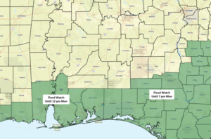
A Flood Watch for Mobile and Baldwin counties until 12 pm and for Geneva and Houston counties until 7 pm…
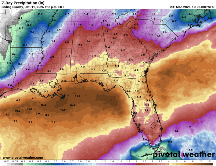
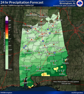
An additional 1-2 inches, with the potential for 4+ inches in spots, will occur through early evening in the southeastern portions of the state east of I-65 and south of I-85. Flooding is the continued threat with this event. Drier and cooler conditions will occur statewide Tuesday through Thursday.
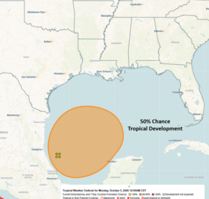
An area of low pressure is expected to form in the southwestern Gulf, and a tropical depression could form after Wednesday. There is now a 50% chance of tropical development. As you can see from the very large outlook area by the NHC, there is still a lot of uncertainty about where a center will develop, future direction, and intensity.
That being said, precipitation chances will start increasing across the southern portions of Alabama by Friday evening and the southern half of the state on Saturday. Heavy and potentially flooding rainfall could occur this weekend.
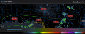
Finally, for more than 48 hours, no radar data has reached external customers/public from Mobile to Tallahassee, including the radars at Fort Rucker and Eglin Air Force Base (radars highlighted in red below). There is currently no estimate as to when restoration will occur.
Data from surrounding radars, like New Orleans and Maxwell Air Force Base east of Montgomery, are used for the Internet and apps you use, but what you see may not be representative because the radar beams are much higher off the ground than those from the radars not transmitting data.