
By Jim Stefkovich, Meteorologist, Alabama Emergency Management Agency
CLANTON – Saturday 530 am, October 10, 2026
The remnants of Isaias have lost tropical characteristics and now an area of low pressure. All Hurricane and Tropical Storm Warnings have been discontinued.
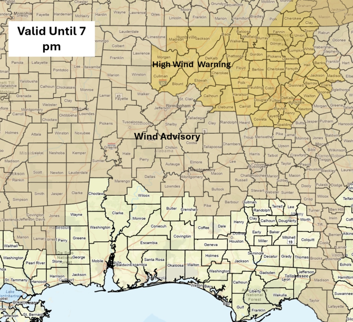
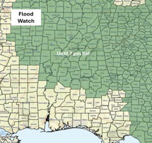
However, a High Wind Warning for northeastern Alabama, a Flood Watch for the northern and central sections, and a Wind Advisory for the northwestern and central sections continue until 7 pm.
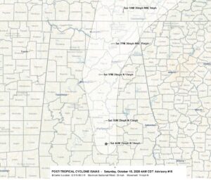
As of 4 am, the low pressure center was just south of Montgomery, forecast to be just north of Birmingham at 1 pm and exit northeastern Alabama between 8 pm and 12 am.
Winds in the Advisory area into this afternoon will be sustained at 15-25 mph with gusts mainly from 30-45 mph. A few gusts in the northwestern sections of the state could be as high as 50 mph.
For the High Wind Warning area, sustained winds of 20-30 mph with gusts mainly from 40-50 mph will occur. A few gusts in the higher terrain could be as high as 60 mph.
There is no tornado threat today anywhere in the state.
The bulk of the precipitation has ended south of a Livingston – Montgomery – Auburn line. Near and north of I-20, an additional 0.5 – 2 inches of rainfall are forecast by 7 pm. After 7 pm, most of the precipitation will end statewide.
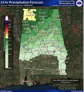
No precipitation is forecast anywhere in Alabama from tonight through at least next Friday, but temperatures will be unseasonably warm.