By Jim Stefkovich, Meteorologist, Alabama Emergency Management Agency
CLANTON – Friday, 730 am, August 14, 2026
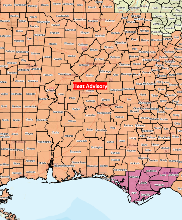
A Heat Advisory is in effect for the entire state, will be expanded over time through the weekend, and likely into at least the middle of next week. Afternoon Heat Index values will be 100-110 each day, and as high as 114 in the southwestern portions. At this time, the NWS is not expecting levels to reach Excessive Heat Warning criteria.
Scattered showers and thunderstorms are forecast across the eastern half of Alabama this afternoon and evening and both east of I-65 and south of I-85 on Saturday. A couple of storms each day could produce the typical summertime wind gusts of 40-60 mph as well as brief, isolated flooding. Little to no rain is forecast Sunday and Monday.
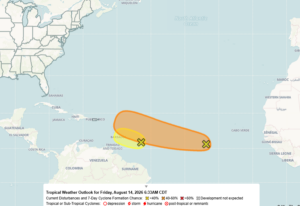
A tropical wave was located around 400 miles east of the Windward Islands. Earlier this week, it was forecast to become a tropical depression but now has only a 20% chance of development due to encountering hostile upper-level winds and dry air.
Another tropical wave over the central Atlantic has a 50% chance of development and will be reaching the vicinity of the Windward Islands late next week.