CLANTON – Sunday, 1:00pm, August 16, 2026
By Jim Stefkovich, Meteorologist, Alabama Emergency Management Agency
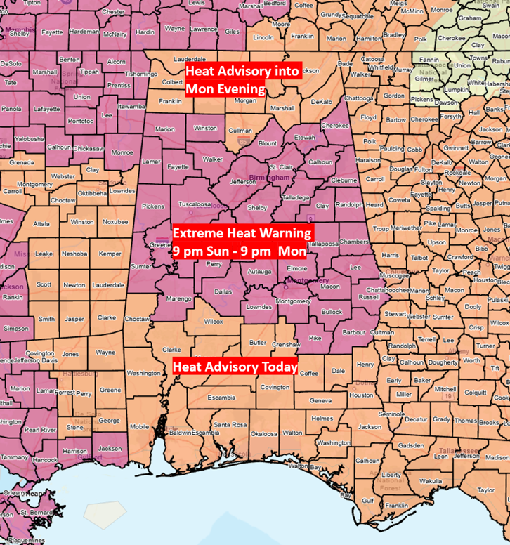
A Heat Advisory remains in effect statewide today and will likely be expanded into the middle of the week. An Extreme Heat Warning is in effect for all of central Alabama from 9 pm through 9 pm Monday.
Drink plenty of non-alcoholic fluids, stay in an air-conditioned room, stay out of the sun, and check on relatives and neighbors. If you must work or spend time outside, when possible, reschedule strenuous activities to early morning or evening and take frequent breaks in shaded or air-conditioned environments.
NEVER leave pets or children in unattended vehicles, even for a couple of minutes.
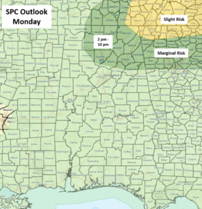
Scattered thunderstorms are forecast to develop across the state Monday afternoon and last into the evening hours. Although a couple of storms anywhere could produce wind gusts from 40-60 mph, there may be a tad more activity in the northern portions ahead of an approaching frontal boundary.
At this time, the highest concentration of storms and threat of severe weather appears to be across North Carolina and northern Georgia. Still, a few storms in north Alabama could produce damaging wind gusts and very heavy rainfall.
The upper-air pattern will change during the week to a northwest flow, meaning a few Mesoscale Convective Systems (MCS) are possible in the southeastern US moving from northwest to southeast. However, it is unclear at this point if any of these systems will even affect Alabama.
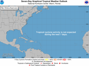
Finally, as you can see from the graphic below, the two tropical waves that were previously in the Atlantic have dissipated. There is no tropical activity forecast for at least the next seven days.