By Jim Stefkovich, Meteorologist, Alabama Emergency Management Agency
CLANTON –Tuesday 2:30 pm, October 6, 2026
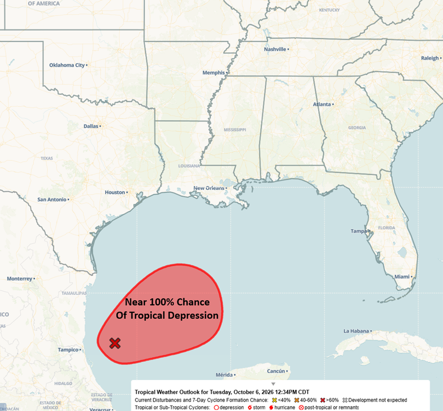
Advisories will likely be issued by the NHC later today or early tomorrow. There is not much change from this morning’s briefing, and there remains uncertainty about landfall, future intensity, and rainfall totals.
With that said, models are coming into agreement that rainfall will begin across Mobile and Baldwin counties Friday afternoon or evening, spread across the entire state on Saturday, and continue into Sunday afternoon. The bulk of the precipitation should be over by Sunday evening. Total rainfall through Sunday is currently forecast to be 1-3 inches, except 3-6 inches in the far southern sections. Much higher amounts are possible with potential flooding.
A few tornadoes will be possible on the east side of the circulation.
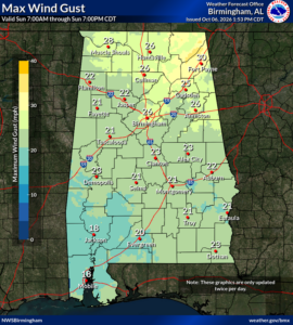
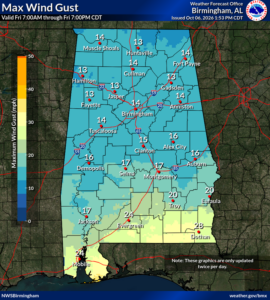
The current official NWS wind forecast:
Friday into early Saturday for southern Alabama is sustained winds 10-20 mph and gusts up to 30 mph.
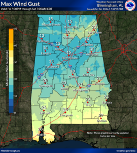
On Saturday into early Sunday, sustained winds of 15-25 mph with gusts up to 40 mph.
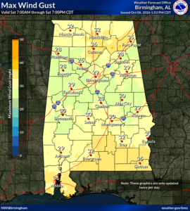
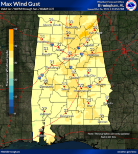
On Sunday, statewide winds will be 10-20 mph with gusts up to 30 mph.