By Jim Stefkovich, Meteorologist, Alabama Emergency Management Agency
CLANTON – Thursday, 600 am, August 20, 2026
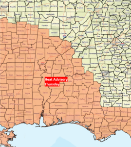
Another warm and humid day will occur today with afternoon heat index values from 105-112 across most of Alabama.
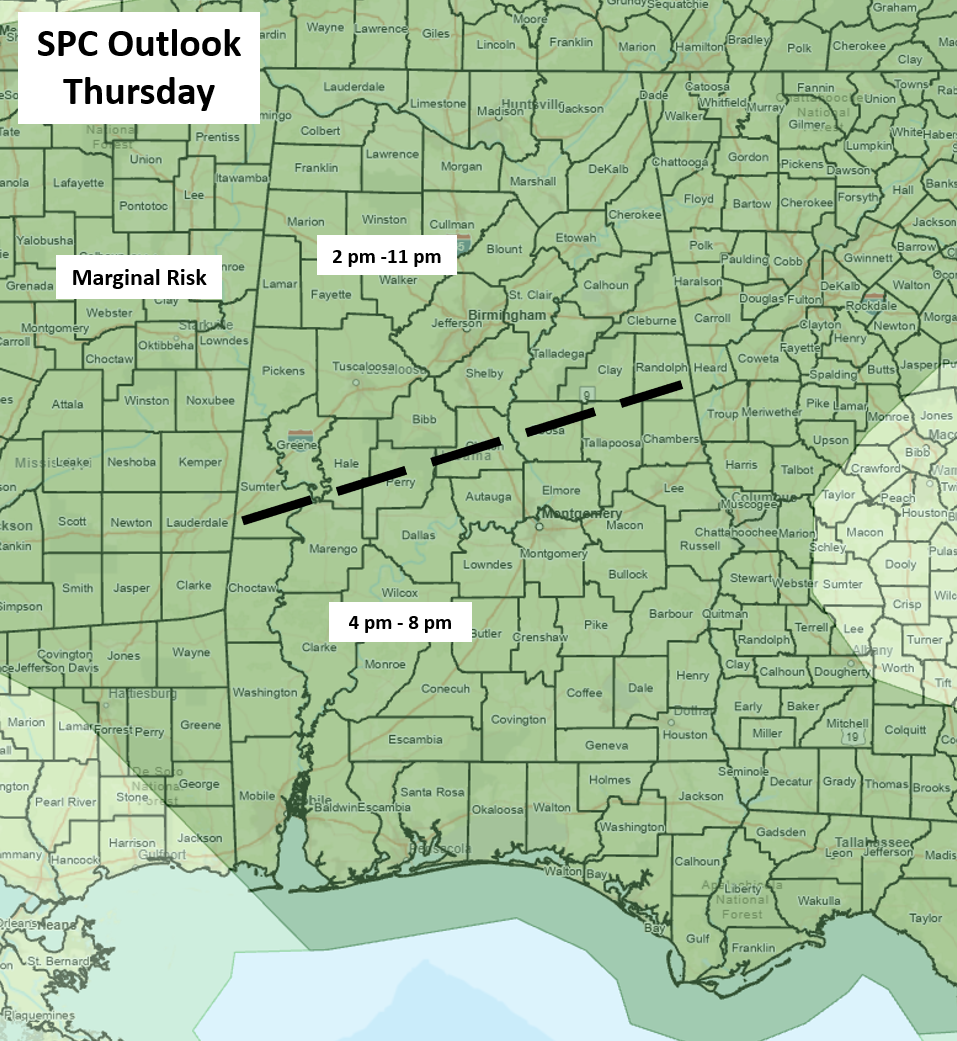
Isolated to scattered showers and thunderstorms will develop statewide this afternoon, likely forming into clusters this evening, especially across the northern half of the state.
A few wind gusts from 40-60 mph, hail, and very heavy rainfall with localized flooding are the threats. Widespread severe weather is not expected, and some areas will receive no rainfall.
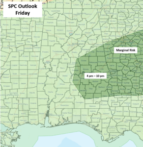
A frontal boundary will move through the state on Friday, and the SPC has placed areas generally south of I-20 and east of I-65 under a Marginal Risk for a few wind gusts from 40-60 mph. However, a few of these wind gusts are possible anywhere south of I-20 due to forecast atmospheric instability.
No rainfall is forecast for all of Alabama from Saturday through at least next Monday.