By Jim Stefkovich, Meteorologist, Alabama Emergency Management Agency
CLANTON – Thursday, 7:30 am, July 30, 2026
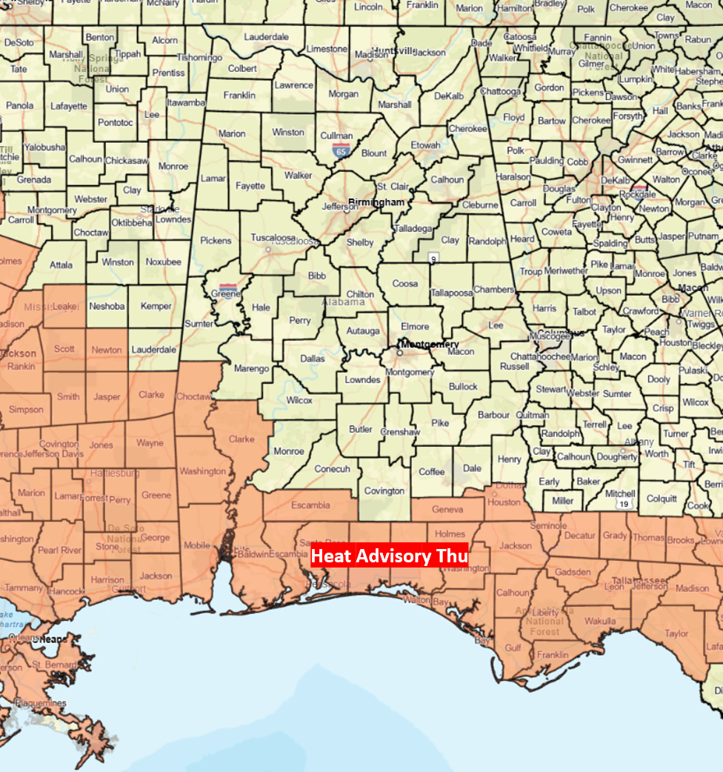
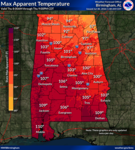
A Heat Advisory is in effect until this evening for the southern sections. Heat Index values in the advisory area will range from 108-112 today. Although the rest of Alabama is below advisory criteria, it will still be very warm, with heat index values in the 90s north and 100-106 in the central part of the state. This will likely be the last day with heat advisories through at least early next week
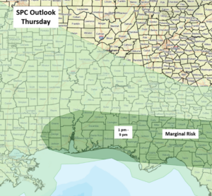
Scattered showers and thunderstorms are forecast across the southwestern and southern sections of Alabama today and Friday, mainly during the afternoon and evening hours. A few storms each day could produce 40-60 mph wind gusts.
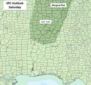
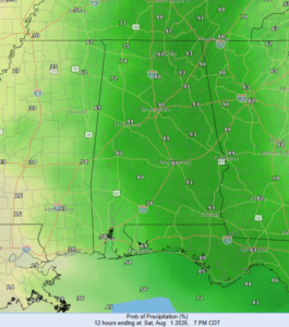
On both Saturday and Sunday, scattered to numerous showers and thunderstorms will occur, especially during the afternoon and evening hours. Especially on Saturday, the storms will be very heavy rain producers, and some flooding may occur, especially in urban areas. In addition, although cloud cover and morning precipitation are expected, if the atmosphere can recover and become unstable, afternoon clusters of storms are possible with a few damaging wind gusts.
For both Monday and Tuesday, scattered mainly afternoon and evening thunderstorms are forecast.