By Jim Stefkovich, Meteorologist, Alabama Emergency Management Agency
CLANTON –Tuesday 820 am, October 6, 2026
Here is what is known as of early this morning:
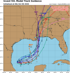
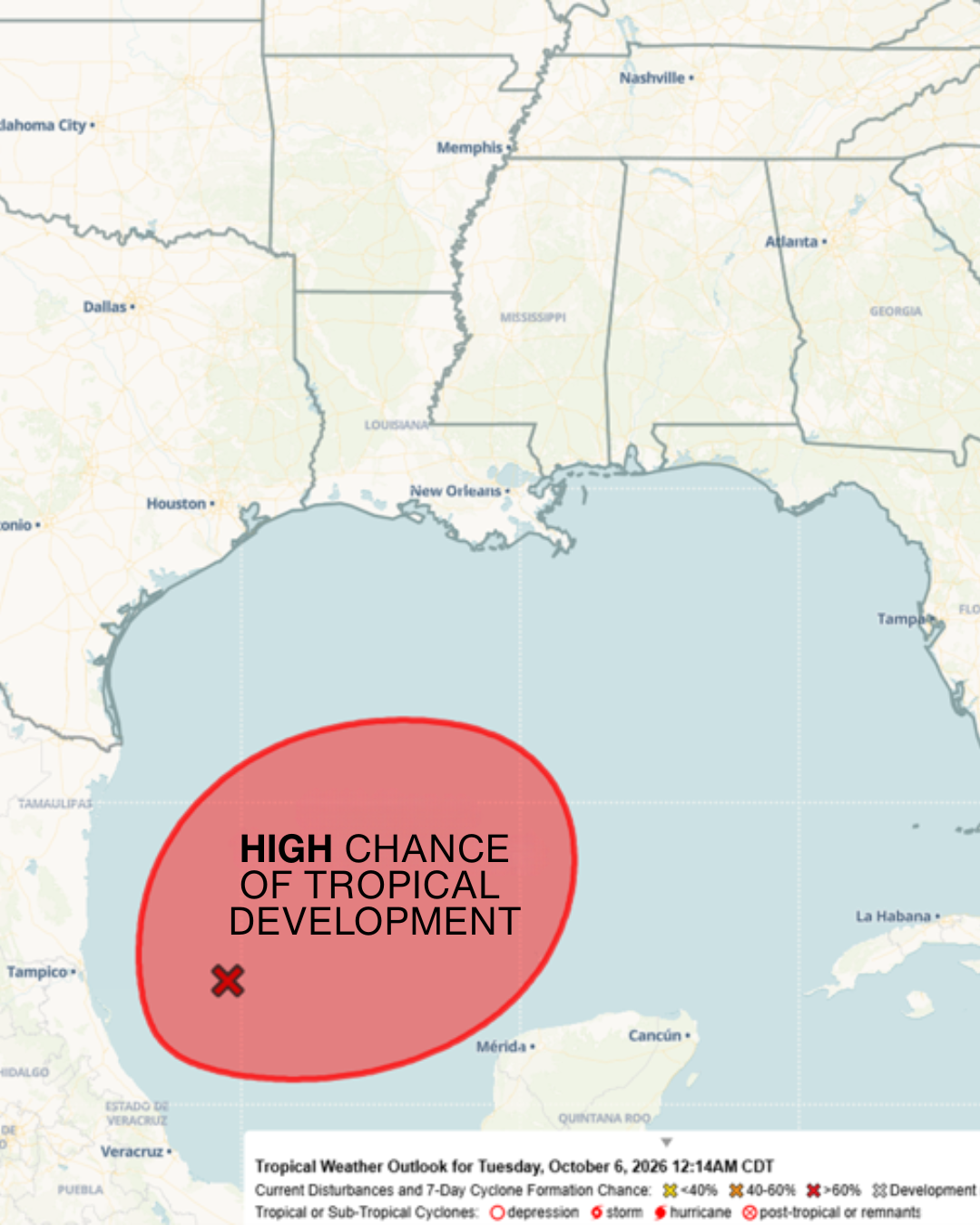
A tropical depression will likely form in the next couple of days. The system will initially drift east-northeastward through the middle portion of the week before turning northward. Global models currently indicate the center of circulation will make landfall sometime between late Friday and during the day on Saturday.
Rain chances will increase in the far southern sections on Friday into Friday night and across most of the state Saturday into Sunday. Total rainfall through Sunday is currently forecast to be 1-3 inches, except 3-6 inches in the far southern sections. Locally higher amounts are possible.
The current official NWS wind forecast:
Friday evening into early Saturday for southern Alabama is sustained winds 10-20 mph and gusts to 25 mph.
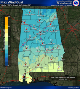
On Saturday into early Sunday for the southern 1/3 of Alabama, sustained winds of 15-25 mph and gusts up to 35 mph, with 10-20 mph and gusts up to 30 mph for the remainder of the state.
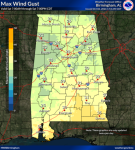
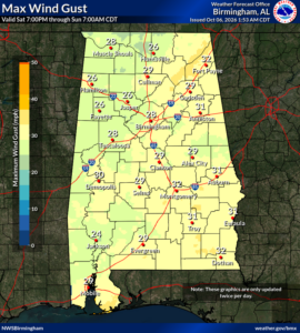
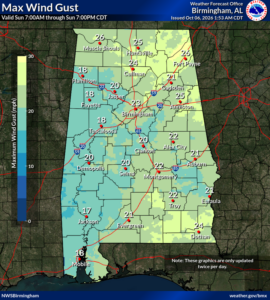
On Sunday, statewide winds will be 10-20 mph and gusts up to 25 mph.
A few tornadoes will be possible on the east side of the circulation.
Here is what is NOT known as of early this morning:
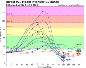
Since there is not a defined center of circulation, there remains much uncertainty about the future intensity, exact track, and impacts in Alabama. As a result, you should expect changes to the official forecasts concerning rainfall, wind, and other potential impacts in later updates. These issues should become clearer in the next day or two.
Finally, I hesitate to share long-range global model output due to the uncertainty, but since it has been widely distributed on social media, I have included it in the final two graphics. Yes, some of the models show this becoming a hurricane. BUT AGAIN, there is still much uncertainty right now.