By Jim Stefkovich, Meteorologist, Alabama Emergency Management Agency
CLANTON – Tuesday 530 am, November 3, 2026
It will be breezy across the northern half of the state from late morning through tonight, with wind gusts from 20-30 mph. Gusts will only be 10-20 mph across the southern half.
Isolated to scattered showers will develop across much of Alabama this afternoon and continue into this evening. A couple of thunderstorms (not severe) are possible in the far southern sections. Then, a line of showers and thunderstorms will enter the western sections between 11 pm and 3 am, with activity continuing across much of the state into Wednesday evening.
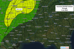
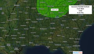
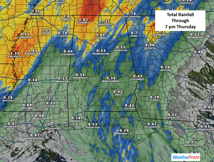
The main threat tonight through Wednesday will be heavy rainfall and some potential flooding north of I-59 where 1-3 inches are possible, with locally higher amounts. Lauderdale, Colbert, and Franklin counties in far northwestern Alabama will be most vulnerable to flooding in part due to the 2-5 inches of rain that fell over the weekend.
A couple of storms could produce wind gusts from 40-50 mph late tonight and again Wednesday afternoon, but no widespread severe weather will occur.
One inch or less of total rainfall will fall south of I-59. Although most of the precipitation will end Wednesday night, a few showers may continue into Thursday in the far eastern sections of the state.