By Jim Stefkovich, Meteorologist, Alabama Emergency Management Agency
CLANTON –Friday 800 am, October 9, 2026
A Hurricane Warning is in effect for Mobile, Baldwin, Escambia, Conecuh and Covington counties with a Tropical Storm Warning farther inland.
A Tropical Storm Watch extends northward to areas around I-20.
A Flood Watch will go into effect statewide from early Friday afternoon south to early Saturday morning north.
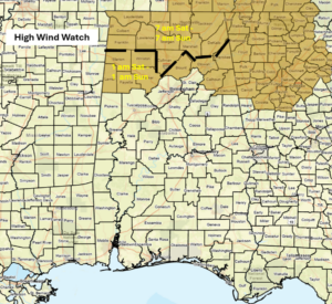
A High Wind Watch begins early Saturday for the northern sections.
Storm surge from 6-9 feet could occur along coastal areas and 4-6 ft in Mobile Bay tonight into early Saturday.
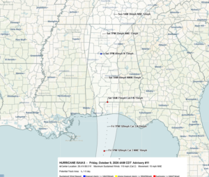
A very slight eastward shift of the track has occurred overnight, with landfall forecast between 9 pm and 12 am somewhere between Gulf Shores and Santa Rosa Beach, Florida, as a Category 2 hurricane and sustained winds around 100 mph with gusts up to 120 mph.
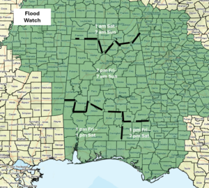
Specific impacts:
Rainfall
Rainfall will start along the coast this morning and spread northward to areas near I-20 through the afternoon, and across the entire state tonight. The bulk of the precipitation will end across the southern 1/3rd of the state Saturday morning, although redevelopment of scattered showers is possible. For the northern 2/3rd, rain will continue into Saturday evening, with the bulk of the precipitation ending by early Sunday morning.
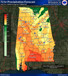
Total rainfall for the event will likely be 1-4 inches across much of the state, with 4-6 inches in the far southern sections. In addition, there is the potential for double these amounts in spots, which could result in some flooding.
Tornadoes
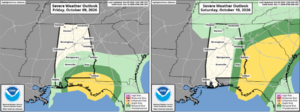
There is a risk for a few tornadoes in the southern sections from this afternoon through tonight and the far eastern sections of the state from late Saturday morning through the afternoon hours.
Wind
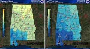
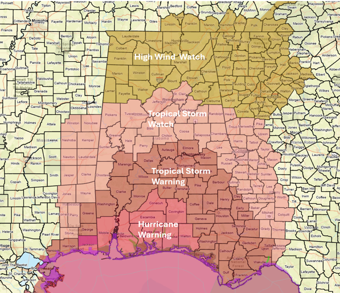
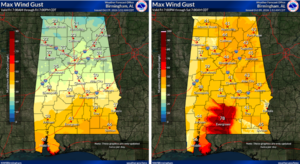
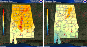
Although sustained winds from Isaias will decrease rapidly after landfall, they will remain destructive, sustained at 60-70 mph as the center moves into south-central Alabama around 7 am Saturday. Sustained winds near the center will be around 40 mph as it reaches I-20 around 1 pm and 30-35 mph as it exits the state during the evening hours.
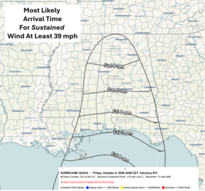
The most likely arrival time of sustained winds of at least 39 mph (Tropical Storm strength) will be around 2 pm near the coast, 2 am near a Livingston – Montgomery – Auburn line, and 8 am tomorrow near I-20.
There will likely be higher gusts through Saturday afternoon across portions of the state, which will likely down trees, produce other damage and cause power outages.
Sunday will see an end to significant wind and rain impacts. No rain and warm temperatures will occur from Monday through at least next Thursday.