By Jim Stefkovich, Meteorologist, Alabama Emergency Management Agency
CLANTON – Sunday 630 am, October 4, 2026
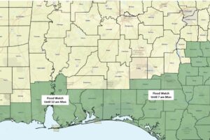
A Flood Watch is in effect for Mobile and Baldwin counties until 12 am Monday and for Geneva and Houston counties until 7 am Monday.
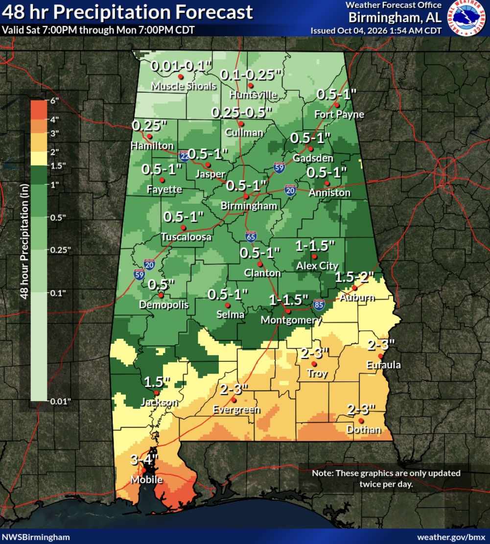
Numerous showers and thunderstorms will occur today and tonight south of I-59. Scattered showers and a few thunderstorms are possible in southeast Alabama Monday east of I-65 and south of I-85. Rainfall rates today in the far southern sections could be 2-3 inches per hour with flash flooding possible.
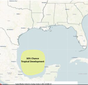
Drier and cooler temperatures are forecast Tuesday through Thursday. A broad area of low pressure could form over the southwestern Gulf during the next few days with a 30% chance of tropical development.
Models are trending to move this system northward later this week. This will likely bring widespread rain to the Gulf Coast states by Friday or Saturday, but it is still too early for details on rain amounts, timing, and intensity.
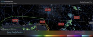
Finally, as shown in the graphic below, for more than 24 hours, no radar data has been reaching external customers/public from New Orleans to Mobile to Tallahassee, including the radars at Fort Rucker and Eglin AFB (highlighted in red). There is currently no estimate as to when restoration will occur. This is likely affecting radar representation in South Alabama on websites and apps.