By Jim Stefkovich, Meteorologist, Alabama Emergency Management Agency
CLANTON – Sunday, 6:30 am, August 23, 2026
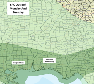
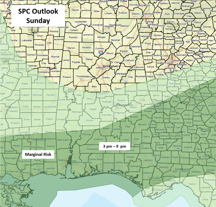
A Mesoscale Convective System (MCS), or relatively small cluster of storms, moved through northern and central Alabama last night, leaving a stationary boundary across the southern sections. Isolated to scattered thunderstorms are forecast today through Tuesday, especially across the southern half of the state. A few storms during the afternoon and evening hours could produce wind gusts from 40 to 60 mph each day.
We remain in a very active northwest flow aloft with periodic MCS activity continuing across the southeastern US through much of the week and possibly into next weekend. Models suggest a potential MCS affecting portions of the state sometime between Monday evening and Tuesday morning.
Again, these smaller systems have low forecast confidence in both timing and location more than 12-24 hours in advance. As a result, expect SPC threat risk areas and timing to change in later updates this week. The good news is that increased cloud cover and precipitation will keep heat index values below advisory criteria for most, if not all, of Alabama through next weekend.