Unsettled Pattern Into Next Week With A Few Severe Storms Possible Through The Weekend
By Jim Stefkovich, Meteorologist, Alabama Emergency Management Agency
CLANTON –Friday, 700 am, July 10, 2026
A frontal boundary will enter and stall across the northern or central portions of the state today. In addition, a series of upper level disturbances will occur across the southeastern US during the next several days. This combination will produce scattered to numerous showers and thunderstorms each day through at least next Tuesday. Although some rainfall will occur overnight, the bulk of the precipitation will fall from late morning through the evening hours each day.
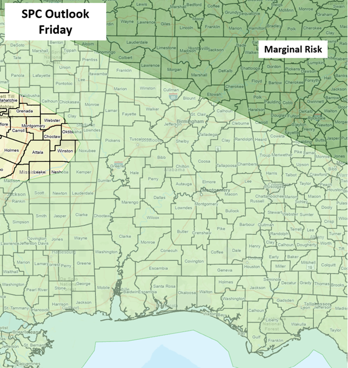
For today, most activity is forecast well north of I-20, where a few storms could produce wind gusts from 40-60 mph and very heavy rainfall from 1 pm – 9 pm.
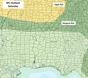
On Saturday, numerous showers and thunderstorms are forecast across the northern half of Alabama, with scattered activity across the southern half. Especially over the northern half, clusters of thunderstorms are possible with a number of storms potentially producing wind gusts from 40-60 mph and very heavy rainfall with localized flooding mainly from 1 pm through 10 pm.
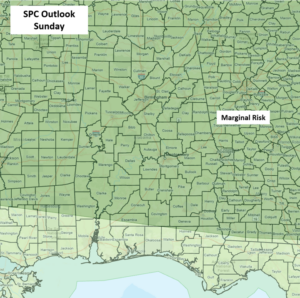
Numerous showers and thunderstorms will continue statewide from Sunday through Tuesday. Very heavy rainfall and some flooding issues are possible, as well as a few storms each day producing wind gusts from 40-60 mph during the afternoon and evening hours.
A return to scattered afternoon and evening thunderstorms is forecast during the afternoon and evening hours on Wednesday.